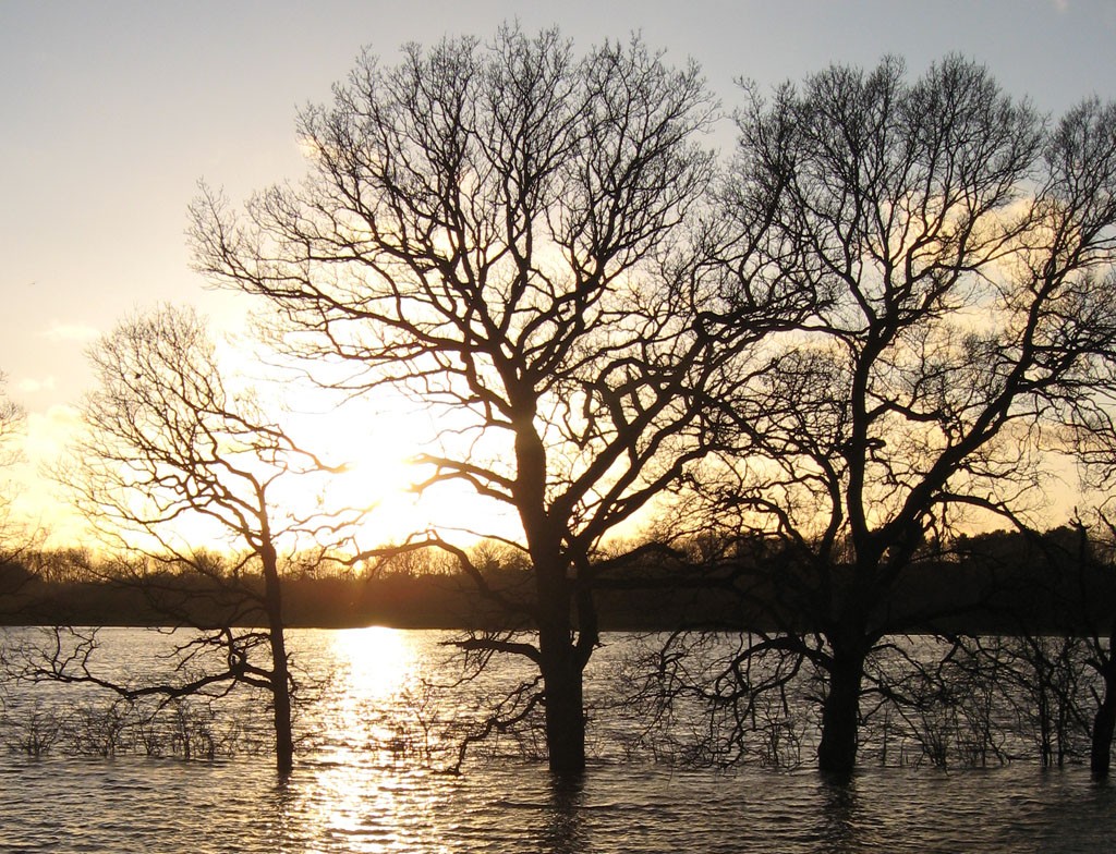
The ings are doing their thing, as the city does its best to deal with another deluge.
Weather conditions permitting, I’m trying to get out for a walk most days, as it feels more important than ever to get exercise and fresh air, rather than sitting inside staring at a screen and getting drawn in to ‘doomscrolling‘.
Today, in welcome sunshine, I headed out of town up Shipton Road, as I often do. Having seen photos online of the flood levels in the city centre I was curious to see how the situation compared with last February (as mentioned in my 2020 review of the year).
The Clifton and Rawcliffe area of York, my local area, is up river on the Ouse, and the land here on the ings by the river Ouse takes in a lot of water, which therefore means less water down river, in the city centre.
It’s not the focus of a lot of attention, as most images in the media focus on the height of the floodwaters by the city centre bridges, or King’s Staith. This time, as always, it’s important to see different perspectives.
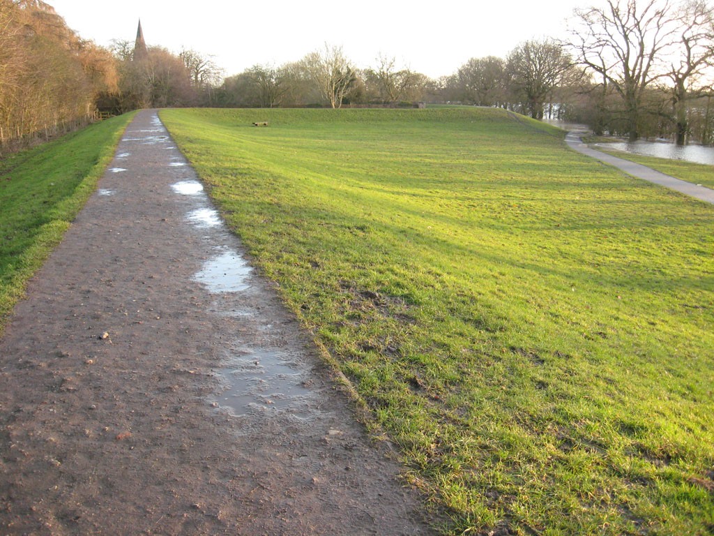
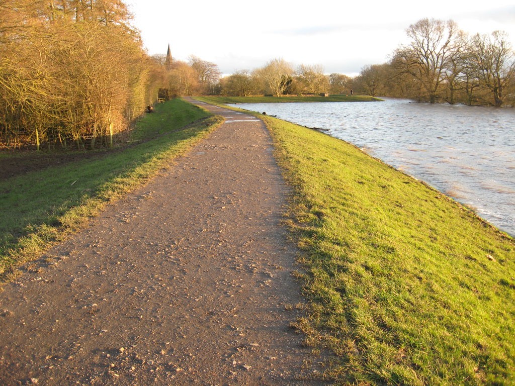
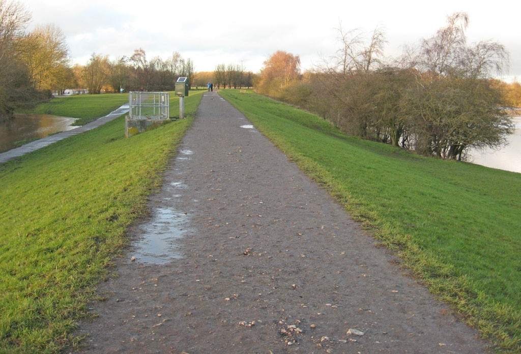
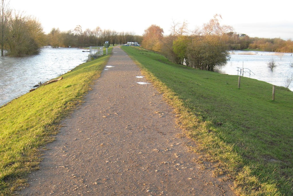
It wasn’t as bad as I was expecting, down here on the flood bank. The water levels at around 3.30pm, today:
Compared to the same stretch of flood bank (from a slightly different angle) back in February 2020:
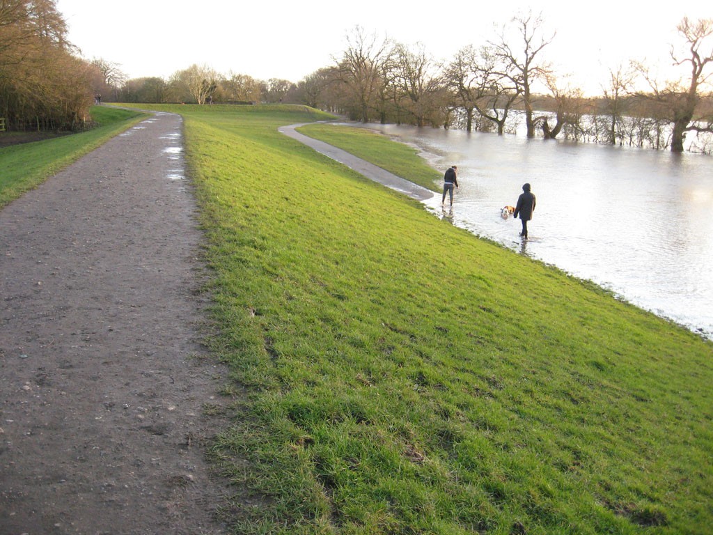
Many people were out walking, or running, many more people than I used to see here, and dogs in particular seemed to be enjoying the shallower areas of water.
When I walked along here in February last year the volume of water and the speed (and sound) of it was quite striking/threatening, and I wanted to get off the flood bank as quickly as I could. Today, in bright sunshine, in a welcome escape from the general miseries of the current time, it felt quite different.
Another comparison – looking back the other way, pictured below, today and last February. On the left is the water from the overflowing Ouse, on the right a reservoir area that Blue Beck runs through.
I arrived back home feeling quite cheered up/warmed/optimistic – as much as it’s possible to be, in the current situation. Everyone else I passed was I hope benefiting from it too.
Then, back at my desk, checking on the flood updates etc, I saw warnings not to walk on the ings in this area, because of overtopping of the defences. I’d just got back from walking along some of them and had seen no breaches, nothing near.
It probably needs to be clarified that there are two lines of floodbanks in the Clifton/Rawcliffe area. One is right by the river – the flood bank that has had some incursion from the river over the top of it, today, apparently.
The other is the one I walked along this afternoon, the one that is pictured above. It’s some distance from the river. As I’ve been here a while I know the best access points that aren’t a sea of mud. I wouldn’t recommend visiting if you don’t.
Flood levels hadn’t quite peaked at the time of writing. But hopefully enough spare capacity here and elsewhere to contain most of the flow.
A lot more could be said, and probably needs to be, but more on that story later perhaps.
. . . . .
These pages have been supported by, and powered by, your virtual coffees. More about the background to all this is on this page.


