


Currently browsing the category: Rivers, floods
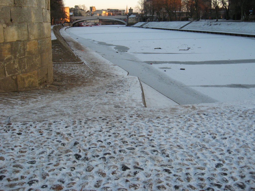
‘Very special circumstances': impacts of the Clifton and Rawcliffe flood defence plans
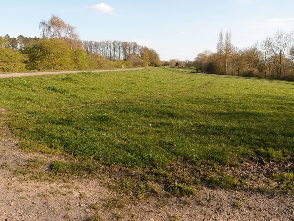
The Environment Agency’s planning applications to extend the flood barrier banks in the Clifton and Rawcliffe area are going to the planning committee on 12 September 2019. Notes on the plans and their environmental impact, in and around Rawcliffe Meadows and other green areas close to the ings.
More …Scarborough Bridge upgrade: photos and notes, as work begins
Photos and notes on the first stages of the Scarborough Bridge upgrade, which will replace the old pedestrian bridge with an accessible and flood-proof bridge.
More …Castle Gateway studies: Brownie Dyke, Castle Mills, and the Foss Basin
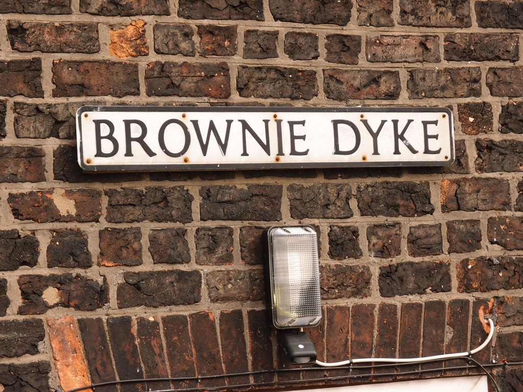
The Foss in the area between Castle Mills Bridge and Blue Bridge. Photos and observations. A continuation of recent ‘Castle Gateway studies’.
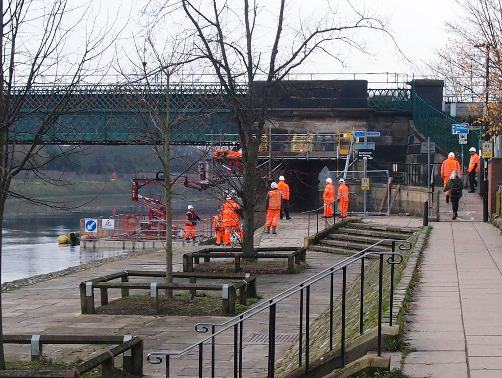
More …Foss barrier: temporary platform under construction
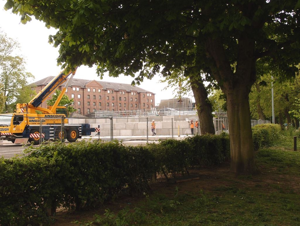
Photos of work at the Foss barrier, and links to and info on the planning application for the temporary platform to enable necessary improvements.
More …After the floods: apologies, Walmgate and Fossgate
Signs in windows on Walmgate and Fossgate show that, for some, things aren’t back to normal yet after the flooding of the Foss.
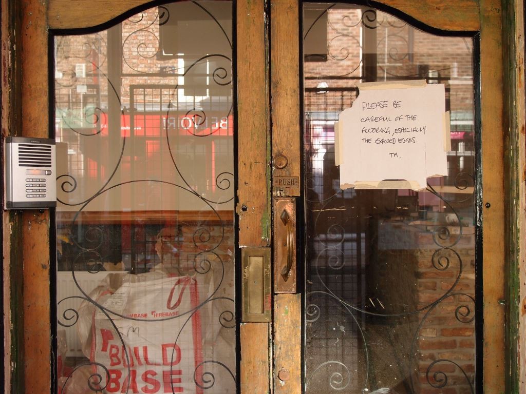
More …An interesting building by the Foss: planning application
Flood risk and financially viable futures: should the ground floor of this former almshouse by Foss Bridge become a restaurant?
More …Floods and a fire station: planning application
The ‘lodge’ building on the fire station site, Peckitt Street. Flood risk means it is likely to be lost in the redevelopment of the site.
More …