Castle Gateway and beyond: from a different perspective, 2007 and 2017
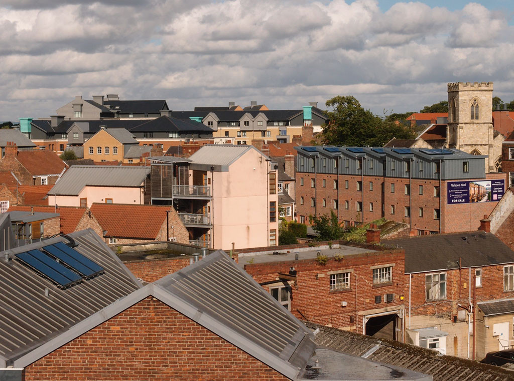
A ‘bird’s eye’ perspective of the area around the Coppergate Centre: Piccadilly, Walmgate, Clifford’s Tower – photos from 2007 and 2017.
More …


A ‘bird’s eye’ perspective of the area around the Coppergate Centre: Piccadilly, Walmgate, Clifford’s Tower – photos from 2007 and 2017.
More …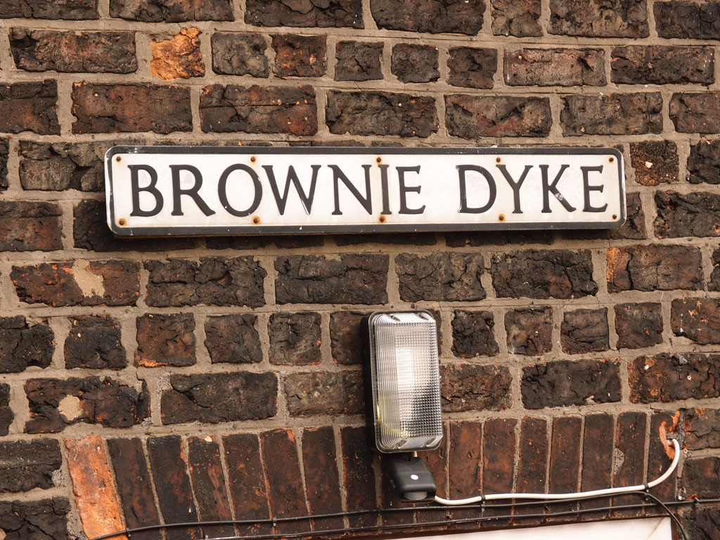
The Foss in the area between Castle Mills Bridge and Blue Bridge. Photos and observations. A continuation of recent ‘Castle Gateway studies’.
More …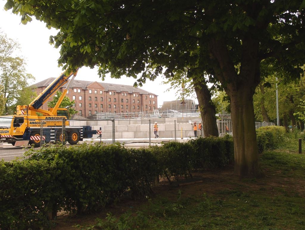
Photos of work at the Foss barrier, and links to and info on the planning application for the temporary platform to enable necessary improvements.
More …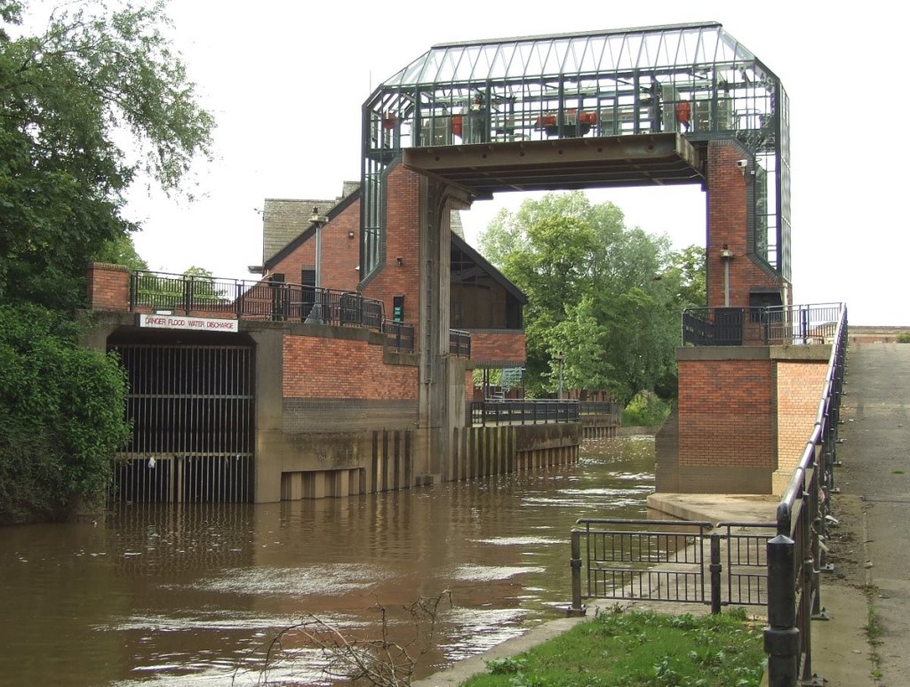
In recent days it has become painfully obvious just how crucial it is, this structure near the confluence of the Ouse and the Foss.
More …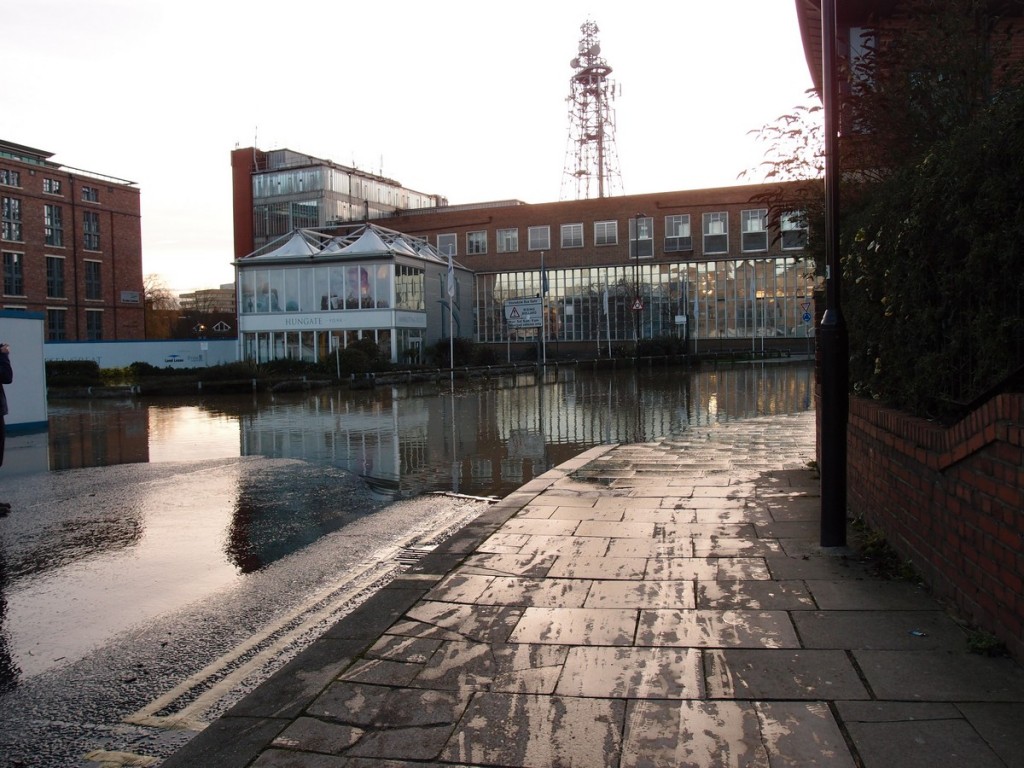
Photos and observations of areas affected by the flooding of the River Foss in York in late December 2015.
More …
On Monday I went for a ‘ten years on‘ walk, revisiting locations I took photos of a decade ago.
From the paved bank of the Foss between Foss Bridge and Rowntree Wharf, in 2004.
More …
I noticed some time ago that a common search query bringing people to my website is ‘Why does York flood?’
There’s very little useful/user-friendly information available online to someone asking that question. After trawling … More …